
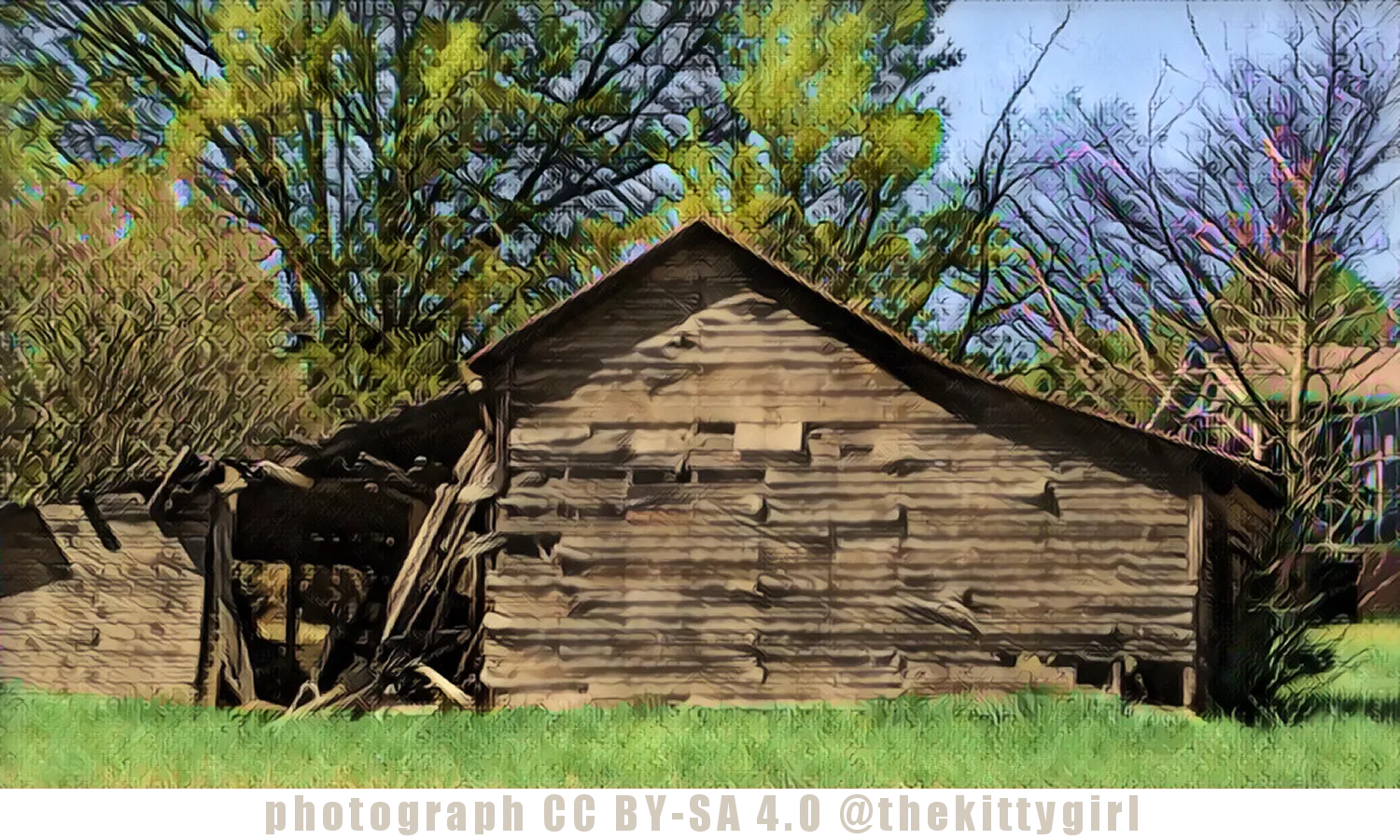
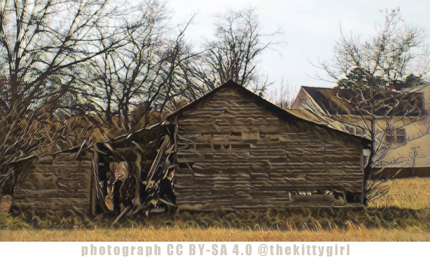
The above photo was made as spring was beginning to show itself a few years ago, and the following photo shows the same barn on a cold, overcast winter's day. Recent peeks at the barn from a 'Steetside' view on both Google and BING Maps shows that the entire left-side of the structure has fallen — everything including that open, ramshackled area and leftward. The central portion and right-hand side are still standing, tall and proud, as they were when they posed for these photos.
This barn is not very far from the last four barns I shared, as shown in the following screen capture from Google Maps.
screenshot from Google Maps
And the strangest thing happened! As I was preparing the draft of this post, I received a DM on Discord from Ren of @xcountytravelers sharing a photo of another barn that they had seen in their travels recently. That barn has the same basic structure as this one — a tall central area, with two "wings" on each side under downward-sloping roof lines, although the "wings" in Ren's barn are much larger than on this barn I found.
Ren says this barn is in the countryside close to Chelsea, Oklahoma. I like the large field adjacent to the building, and those beautiful trees nearby! Thank you for sharing that with me, Ren! 😊
!steemitworldmap 34.786346 lat -82.622161 long Pickens County, SC D3SCR


18-Nov-2019
Return from OLD BARN № 052 to 𝕜𝕚𝕥𝕥𝕪's Web3 Blog