
In 1785, General Andrew Pickens, for whom Pickens County is named, signed a treaty with the Cherokees granting the Jocassee Gorges area to the United States, with the exception of Oconee County. Settlers eventually made their way to the Jocassee Gorges area and began to farm in what is now known as the Horsepasture (named for the livestock that was hidden in these hills during Sherman's March).[source]
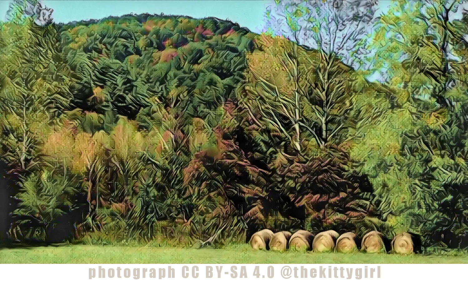
Only a very small portion of Diana Mountain is seen in this photo, as the largest part is behind this small peak, including the main peak which isn't visible from this vantage point. This photo was taken on the relatively flat ground of the Eastatoe Valley, one of the most scenic areas of the county, in my opinion. It consists of nothing but farmland, wooded lands, an occasional farmhouse, three or so barns, and a small church, all surrounded by mountains on three sides. If it were smaller, it would be called a "cove" since it is surrounded by higher ground on three sides, but it is large enough to qualify as a small valley.
The following screenshot shows the area. The above photo was taken where the red dot is located. The white area shows the floor of the Eastatoe Valley.
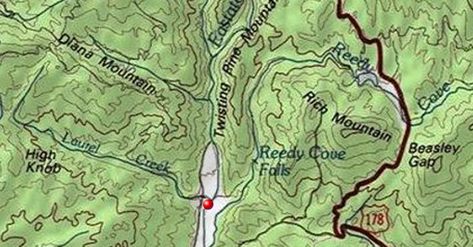
screenshot from AcmeMapper
The entire area called The Horsepasture is only accessible via dirt roads, a few of them lightly graveled, but all of them rough. I have heard that most of the roads are only safe when traveled by four-wheel-drive vehicles because they are sometimes steep, uneven, and heavily rutted in places. The roads go for miles and miles with many twists, curves, and switchbacks as they go up-and-over one mountain or ridge after another. Because of the four-wheel-drive recommendation, I have never been able to go there. The Horsepasture has no definite boundaries of which I am aware, but I have roughly marked the region in the following screenshot.

screenshot from AcmeMapper
The Jocasee Gorges is an area that is full of heavily-forested mountains, rivers, waterfalls, and an abundance of hiking trails at select places. Just look at all the green color in the above screenshot! There is much wildlife for the adventurer to see — including deer, wild boar, and black bears on the ground, and large eagles in the skies. There is plenty of flora, too, including some species of rare plants such as the Oconee Bells. There are some parks in the area as well as plenty of opportunities for fishing. So, this is a fabulous vacation spot for those who love outdoor adventures!
SOURCES 1 ScenicUSA.net: Jocasee Gorges 2 Wikipedia: Gorges State Park
!steemitworldmap 34.007276 lat -82.826970 long Pickens County, SC D3SCR


 to learn more about either of these projects, please visit: @heyhaveyamet or @steemterminal
09-Dec-2019
Return from Diana Mountain to 𝕜𝕚𝕥𝕥𝕪's Web3 Blog